Historical beliefs · Native Hawaiian and Polynesian wayfinding; the Polynesian Voyaging Society, as described by the Smithsonian
Hōkūleʻa and Hawaiian wayfinding
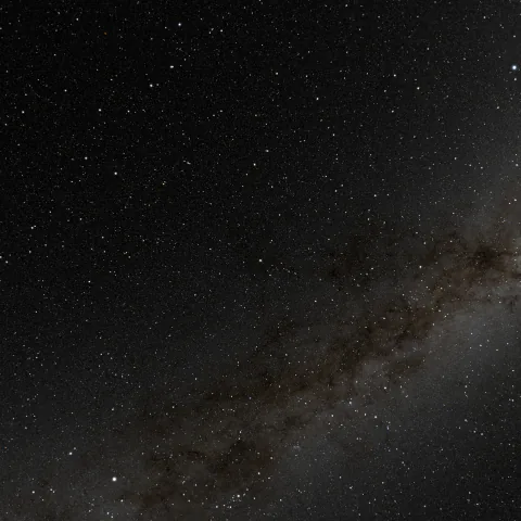
Wayfinding is a skill, not a story: navigators cross the open Pacific without instruments, reading where stars rise and set along with the waves, the birds and the Sun. The voyaging canoe Hōkūleʻa keeps the practice alive.
Navigating without instruments
The Hōkūleʻa crew carries no navigation instruments; stars, waves, birds and the Sun guide them.
Aboard Hōkūleʻa (opens in a new tab), a 62-foot double-hulled voyaging canoe operated by the Polynesian Voyaging Society in Honolulu, the crew uses no navigational instruments. Through the night they note the positions of the stars, the patterns of the waves, the flight of birds and the movements of the Moon; at dawn the Sun's reflection confirms the east.
Even clocks are left behind: navigator Lehua Kamalu told the Smithsonian (opens in a new tab) that no timepieces have been allowed aboard since the 1970s, and that the Sun and Moon keep the crew's time.
Sources for this section Grace McCarty, Guiding Us Home: Traditional Hawaiian Wayfinding Aboard Hōkūleʻa, Smithsonian Folklife Magazine (2024) (opens in a new tab)
The star compass
Each direction belongs to a ‘house’ of stars, learned by where they rise and set.
Crew member Jonah Apo explained the Hawaiian Star Compass (opens in a new tab) to the Smithsonian: each arm is linked to Hawaiian names for separate houses of the stars, and a navigator who learns where those stars rise and set can tell where the canoe is and where it is heading.
The compass also marks the flight paths of birds and the direction of waves (opens in a new tab), so it has to be paired with constant observation of nature. Master navigator Mau Piailug, from Satawal in Micronesia, first drew it for Nainoa Thompson in the sand, with stones for the stars.
Sources for this section Grace McCarty, Guiding Us Home: Traditional Hawaiian Wayfinding Aboard Hōkūleʻa, Smithsonian Folklife Magazine (2024) (opens in a new tab)
A practice revived
In 1975 Hōkūleʻa set out to show that Polynesians found Hawaiʻi by skill, not by luck.
The Smithsonian (opens in a new tab) recounts that Western anthropologists long assumed the Polynesian settlement of Hawaiʻi was a matter of luck, while Native Polynesians held that it rested on navigational skill. With the old techniques nearly lost during colonisation, the artist Herb Kāne built a traditional canoe in 1975 to sail to Tahiti without instruments.
No traditional navigators remained in Hawaiʻi, so the project recruited Mau Piailug (opens in a new tab), who had kept the knowledge. The canoe reached Tahiti; Nainoa Thompson later trained with Piailug for twenty-eight months and today leads the Polynesian Voyaging Society, which in 2023 began a four-year voyage around the Pacific.
Sources for this section Grace McCarty, Guiding Us Home: Traditional Hawaiian Wayfinding Aboard Hōkūleʻa, Smithsonian Folklife Magazine (2024) (opens in a new tab)
The star of gladness
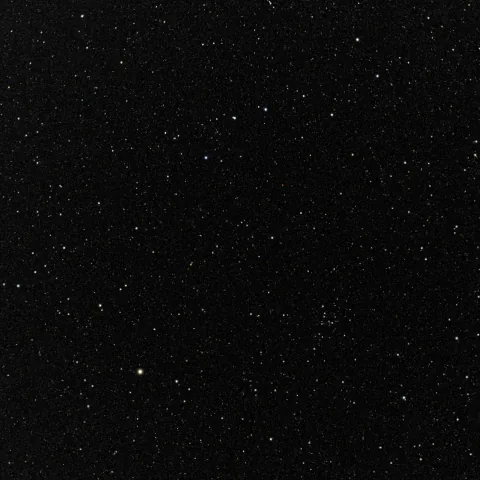
Hōkūleʻa is the Hawaiian name for Arcturus, a star that passes overhead at Hawaiʻi's latitude.
Herb Kāne explains in the Polynesian Voyaging Society's archive (opens in a new tab) that the canoe was named Hōkūleʻa, “star of gladness”, the Hawaiian name for Arcturus, a star which appears to pass directly overhead at the latitude of Hawaiʻi and so served the ancient voyagers as a navigation star.
Sailing north from Tahiti, he writes, Arcturus climbs higher (opens in a new tab) at its highest each night; when it passes directly overhead you are on Hawaiʻi's latitude, and you can turn downwind and make landfall.
Sources for this section Polynesian Voyaging Society, Founding the Polynesian Voyaging Society; Building and Naming Hōkūleʻa (Herb Kāne's account) (opens in a new tab)
In the sky today
Arcturus still passes almost overhead from Hawaiʻi.
Arcturus is the brightest star in the northern sky (opens in a new tab), easy to find by following the curve of the Big Dipper's handle. By this site's calculation (opens in a new tab), from 20°N, near Hawaiʻi's latitude, it is almost overhead at its highest.
This is a skilled observational practice, kept by living navigators. It is not astrology: the stars are used to find a direction and a latitude, together with waves, birds and the Sun (opens in a new tab).
Sources for this section NASA Science, What's Up: September 2021 (opens in a new tab); Bright Star Catalogue, 5th Revised Ed. (Hoffleit & Warren 1991), as computed by this site's star engine (opens in a new tab); Grace McCarty, Guiding Us Home: Traditional Hawaiian Wayfinding Aboard Hōkūleʻa, Smithsonian Folklife Magazine (2024) (opens in a new tab)
Sources
Each story belongs to the people who tell it. This page reports one account from the sources below; it does not speak for everyone in a culture.
- Culture Grace McCarty, Guiding Us Home: Traditional Hawaiian Wayfinding Aboard Hōkūleʻa, Smithsonian Folklife Magazine (2024) (opens in a new tab) for Hōkūleʻa, its crew, the star compass, the revival and Piailug · checked 2 October 2026
- Culture Polynesian Voyaging Society, Founding the Polynesian Voyaging Society; Building and Naming Hōkūleʻa (Herb Kāne's account) (opens in a new tab) for the name Hōkūleʻa and Arcturus as a zenith star · checked 2 October 2026
- Astronomy NASA Science, What's Up: September 2021 (opens in a new tab) for finding Arcturus · checked 27 September 2026
- Astronomy Bright Star Catalogue, 5th Revised Ed. (Hoffleit & Warren 1991), as computed by this site's star engine (opens in a new tab) for Arcturus's height from 20°N